Nyhed
Satellite signals can reveal thirsty trees before it's too late
Lagt online: 03.09.2026
Nyhed
Satellite signals can reveal thirsty trees before it's too late
Lagt online: 03.09.2026
Satellite signals can reveal thirsty trees before it's too late
Nyhed
Lagt online: 03.09.2026
Nyhed
Lagt online: 03.09.2026
By Søren Mølgaard & Susanne Toreby, AAU Communication and Public Affairs
Photo: Søren Mølgaard
Droughts are growing longer and more frequent, increasing pressure on the world's forests. Yet researchers cannot directly measure or understand how trees respond to water shortages.
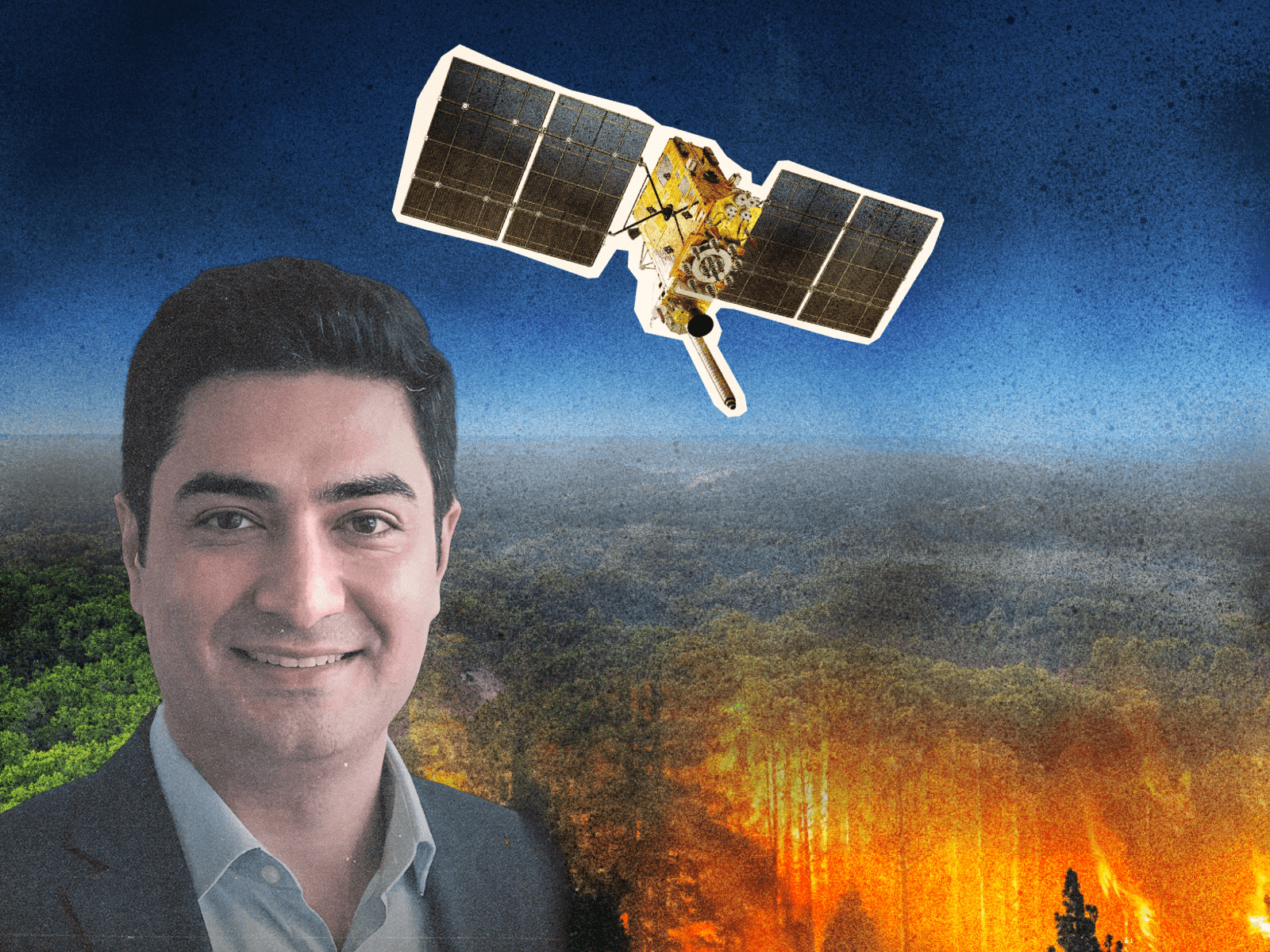
Associate Professor Milad Asgarimehr from Aalborg University will now develop a method to reveal early signs of drought stress in trees.
“Right now, satellites can only tell us that a forest is in trouble once it's already burning or turning brown. My hope is that this project prompts that realisation much earlier and helps us understand and characterise how forests are responding under climate change. This could give communities, land managers, and policymakers a genuine early warning, so we can respond properly while there's still time to do something about it,” says Milad Asgarimehr.
The project ”Forests' Response to Prolonged Droughts” is supported by a grant of almost €1.5 million from the European Research Council (ERC).
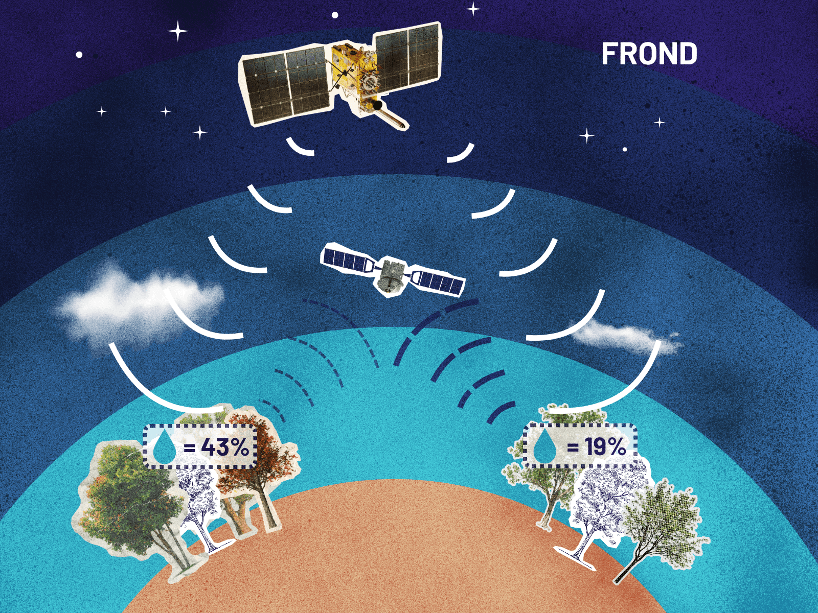
In the project, Milad Asgarimehr exploits signals from more than 100 navigation satellites already orbiting Earth, including GPS satellites. These signals are globally available in all weather conditions.
When the signals reach the forest floor and bounce back, water in the leaves and branches absorbs part of the signal. The return signals are received by small, cost-effective satellites in low earth orbit. A weaker signal indicates a higher water content in the trees. The method, called Global Navigation Satellite System Reflectometry (GNSS-R), therefore makes it possible to measure a tree's actual water content, rather than relying on indirect signs based on weather conditions and dryness.
Because there are so many of the small satellites, they can revisit the same patch of forest far more often than traditional satellites, making it possible to track how water content trends and fluctuates over time. This allows researchers to see whether the trees are getting enough water and staying healthy, or whether they are under stress. As a result, the first signs of drought stress can be detected much earlier than is currently possible.
Milad Asgarimehr will build a live, global map of forest water stress and fire risk by combining these GNSS-R satellite data with an AI model.
“This grant means I can finally turn something I have spent years proving in pilot studies into a truly global understanding and system,” explains Milad Asgarimehr.
Facts about the project
Project title: Forests' Response to Prolonged Droughts (FROND)
Researchers: Milad Asgarimehr, Associate Professor at Aalborg University
Grant: ERC Starting Grant from the European Research Council
Amount: €1,499,790.00 (approximately DKK 11,2 million)
Duration: 5 years from 01 Mar 2027